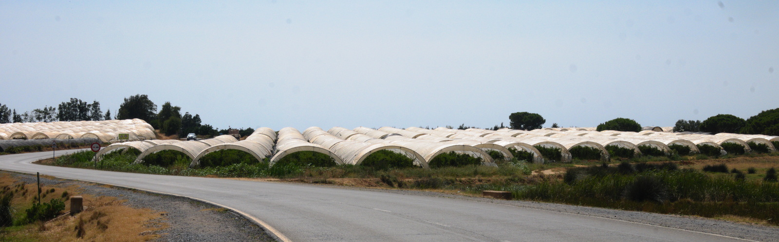
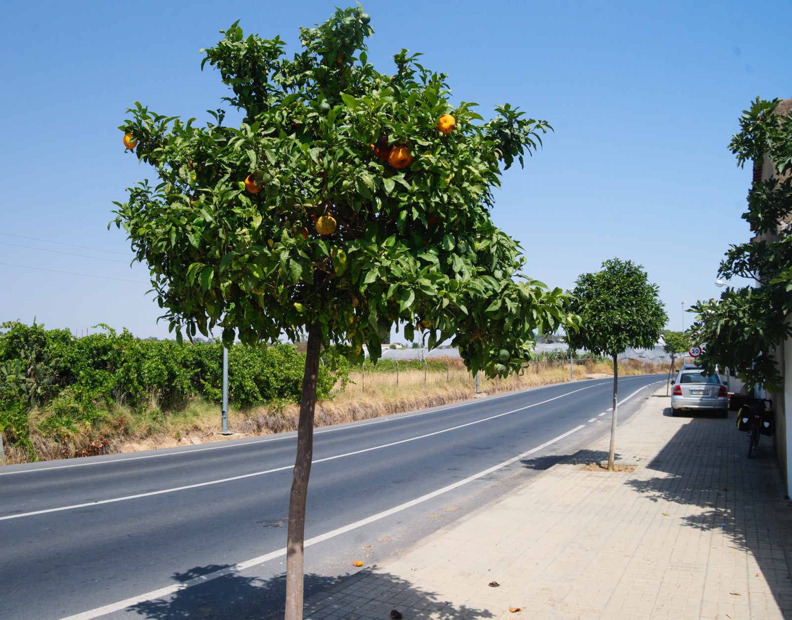
I took a ferry again to get from Portugal to Spain, by a ferry over the river Guadiana. My goal was to thereafter continue south, to the southernmost tip of Spain. Theoretically this should have been easy: while compared to Portugal there were suddenly much more fields covered by plastic foil greenhouses, most of the way goes around river deltas, coastal lagoons and through natural parks.
But the area of Sevilla turned out to be a major obstacle: in the whole are of approx. 150 x 150 km it is only possible to get across the local river Guadalquivir and the natural parks around it by bridges inside or very close to Sevilla city. There is no coastal track or e.g. a ferry connection by the sea. And Sevilla was just experiencing record temperatures of 46°C – that didn’t look to me as very inviting for a 200 km bike trip through the area. So I had to get via the Sevilla area by train and only continue from Cádiz.
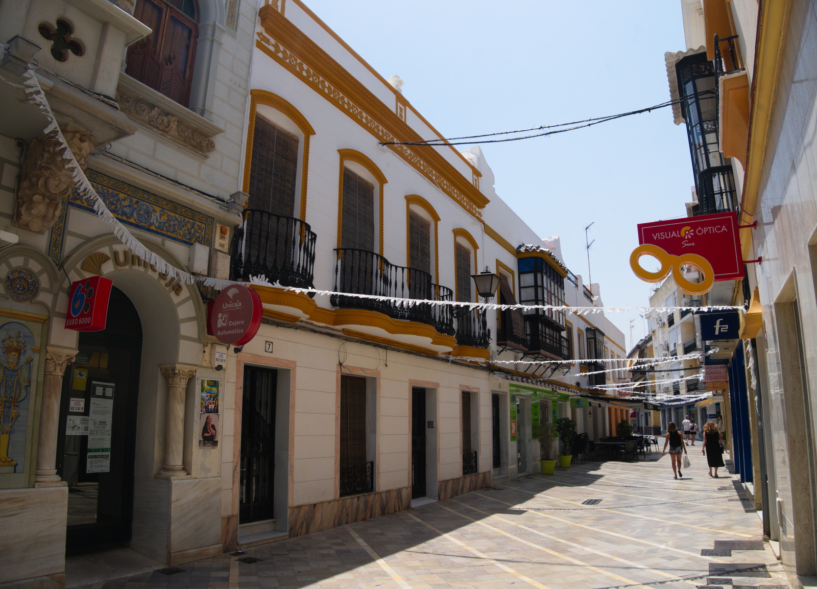
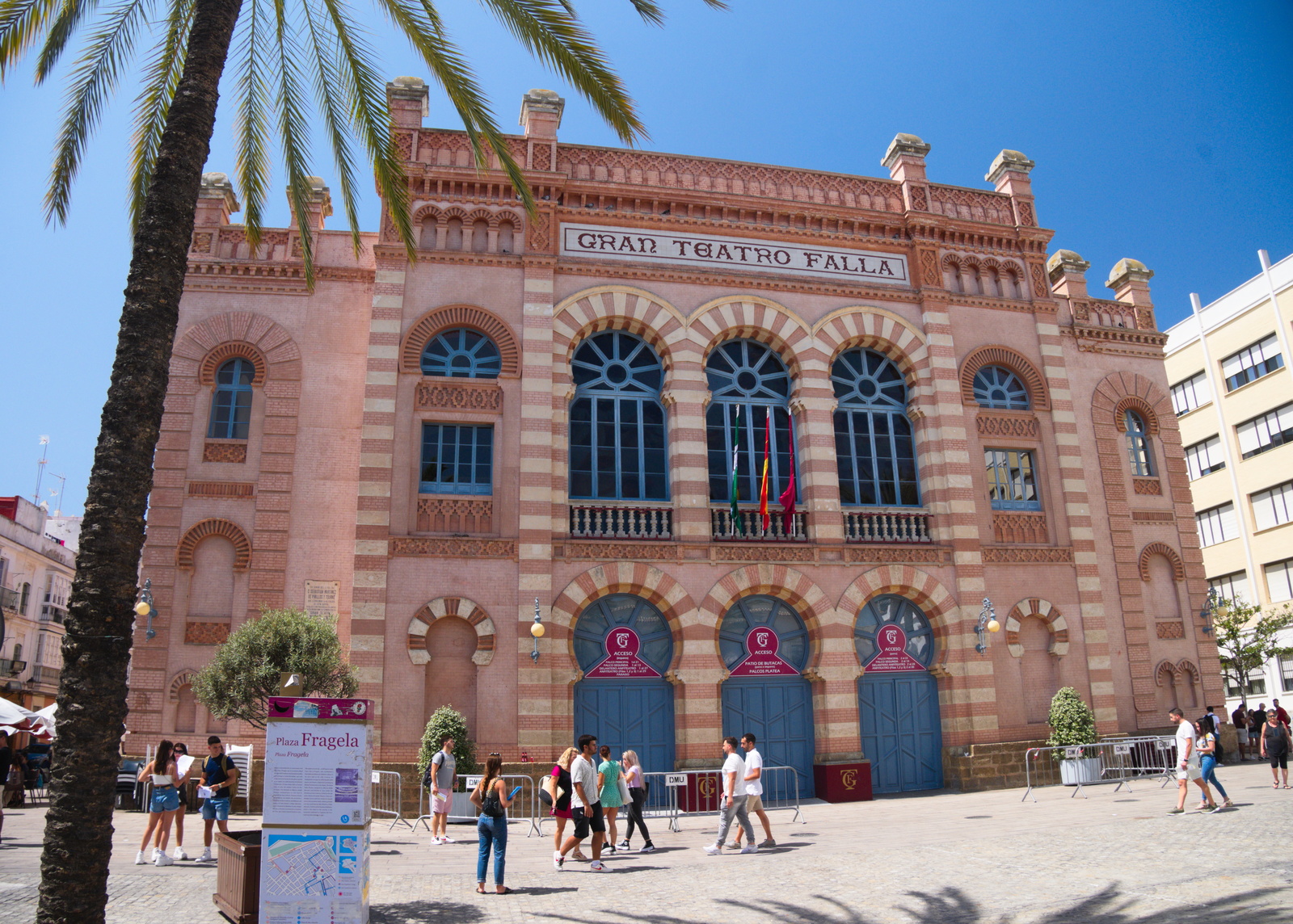
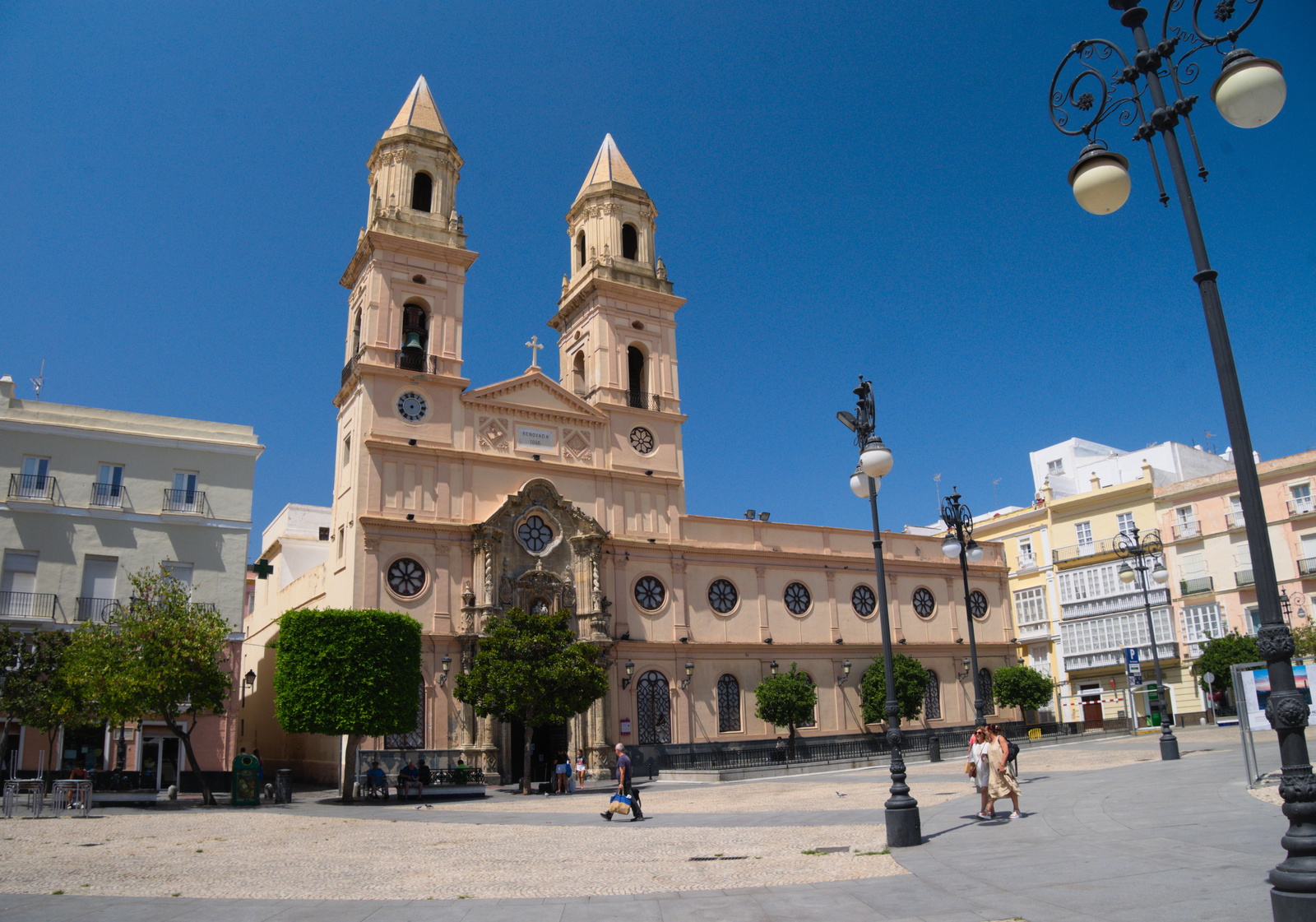
Cádiz is a very attractive city, which preserved its fortification and therefore also its original city style inside those fortifications, with narrow (and therefore pleasantly cool) streets, palaces, very nice parks. A motorway, concrete parking spaces and concrete apartment blocks have to stay outside the walls. From Cádiz it is necessary to cross a narrow sand “bridge” over the bay, then over extensive salty marshes and lagoons – over 20 km in total which would be nice normally, but this area provides no shelter from the sun at all – and that was not so pleasant in current temperatures.


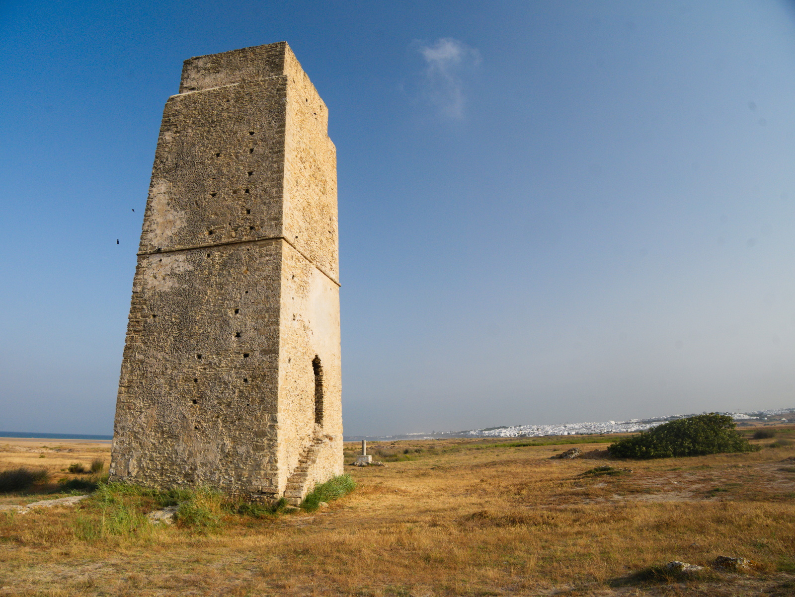
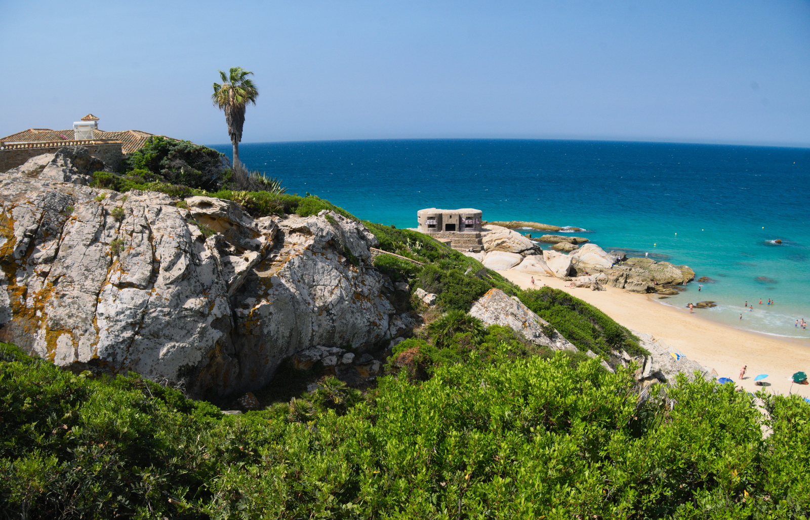
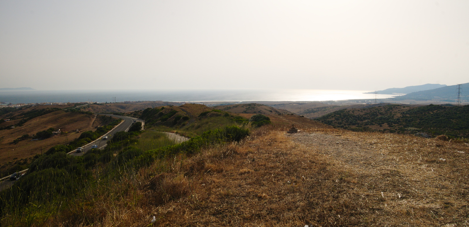
Further to the south, especially beyond Barbate, there is pristine nature, with empty moors, pine forests and more marshes, no major roads and only a cycling track going through. That sounded like a pleasant trip. And indeed, the nature here turned out to be beautiful. But it also turned out that the international cycling track here follows footpaths through sand. It is not possible to cycle in soft sand, which unexpectedly delayed me till the afternoon heats. And as I was pushing the bike through sand and shrubs, in burning heat, I got an SMS: “Welcome in Maroco”. My feeling that I took a wrong turn and got on a wrong continent got even stronger when I finally reached a road, only to find out that the road is borrowed under a sand dune, with wind blowing small sharp grains of sand against anyone daring to cross them.
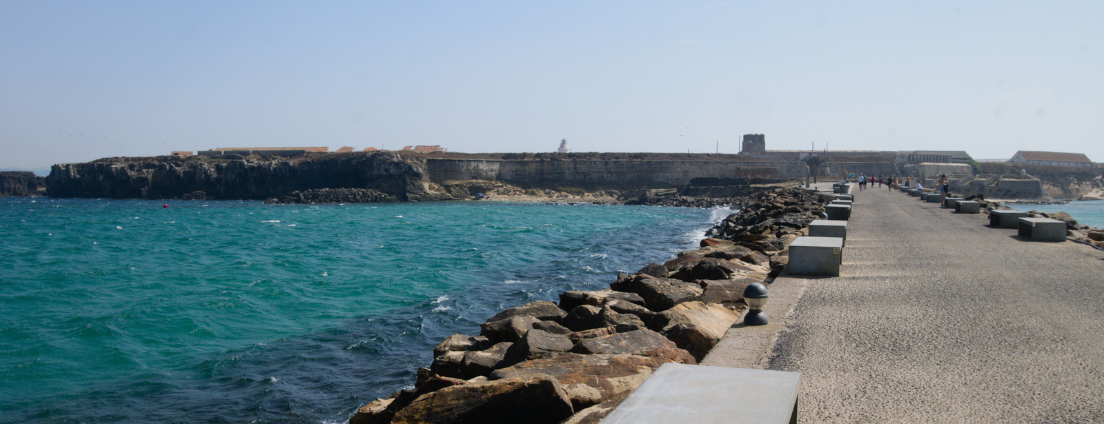
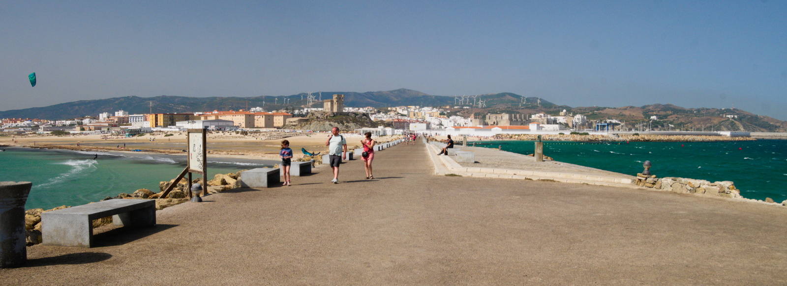
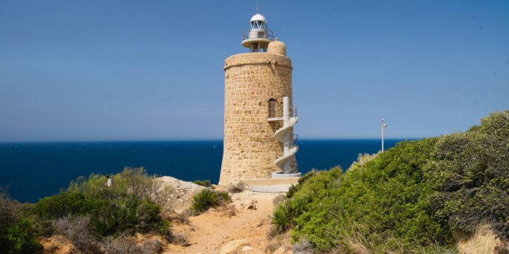
Finally I reached the southernmost tip of Europe: Tarífa. This town has a bit neglected appearance. Even the fortress, which is the true southernmost tip, is closed. The only thing that is busy here is the large ferry terminal for ferries from Maroco. It was also the place with the strongest wind so far – sometimes it was hard even to push the bike. But the view across the see, here very busy with ship traffic, all the way to Africa, was worth it. In the morning I continued via the large port of Algercias, with a plan to continue to Gibraltar. Which, as I found out, is a puzzle: the only straight way across local rivers and marshes is a busy motorway. On a bike it is necessary to get creative, and combine tens of kilometers long detours inland with crossing of field roads and industrial parks.